GEOGRAPHIC EDITION · 01

Hong Kong — at true scale

A Metroteca geographic poster. Line colours and network geometry come from OpenStreetMap — not an imitation of a conventional diagram.
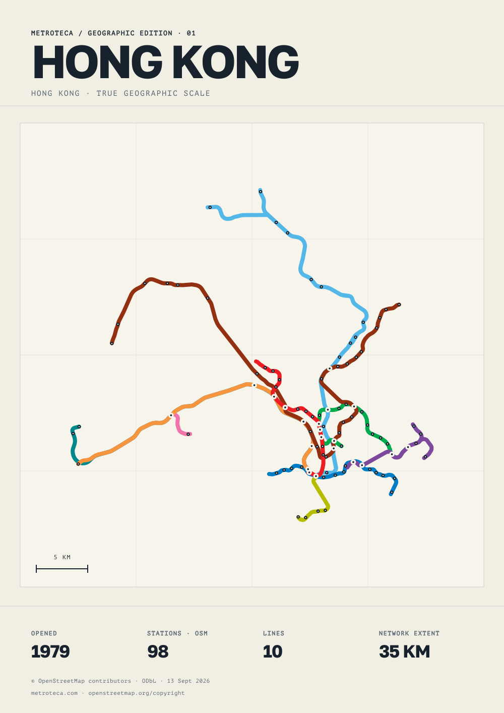
Hong Kong metro geographic poster | MetrotecaHong Kong: a geographic metro network poster, with stations and lines from OpenStreetMap. Download SVG and A3 PDF.METROTECA / GEOGRAPHIC EDITION · 01HONG KONGHONG KONG · TRUE GEOGRAPHIC SCALE5 KMOPENED1979STATIONS · OSM98LINES10NETWORK EXTENT35 KM© OpenStreetMap contributors · ODbL · 13 Sept 2026metroteca.com · openstreetmap.org/copyright
For printing, select A3, 100% scale and disable browser headers and footers. Use “Save as PDF” to keep a copy. Network coverage follows the OpenStreetMap snapshot; this poster is not a journey planner. © OpenStreetMap contributors, ODbL · openstreetmap.org/copyright